 Catalalogue de l'ORE OMERE
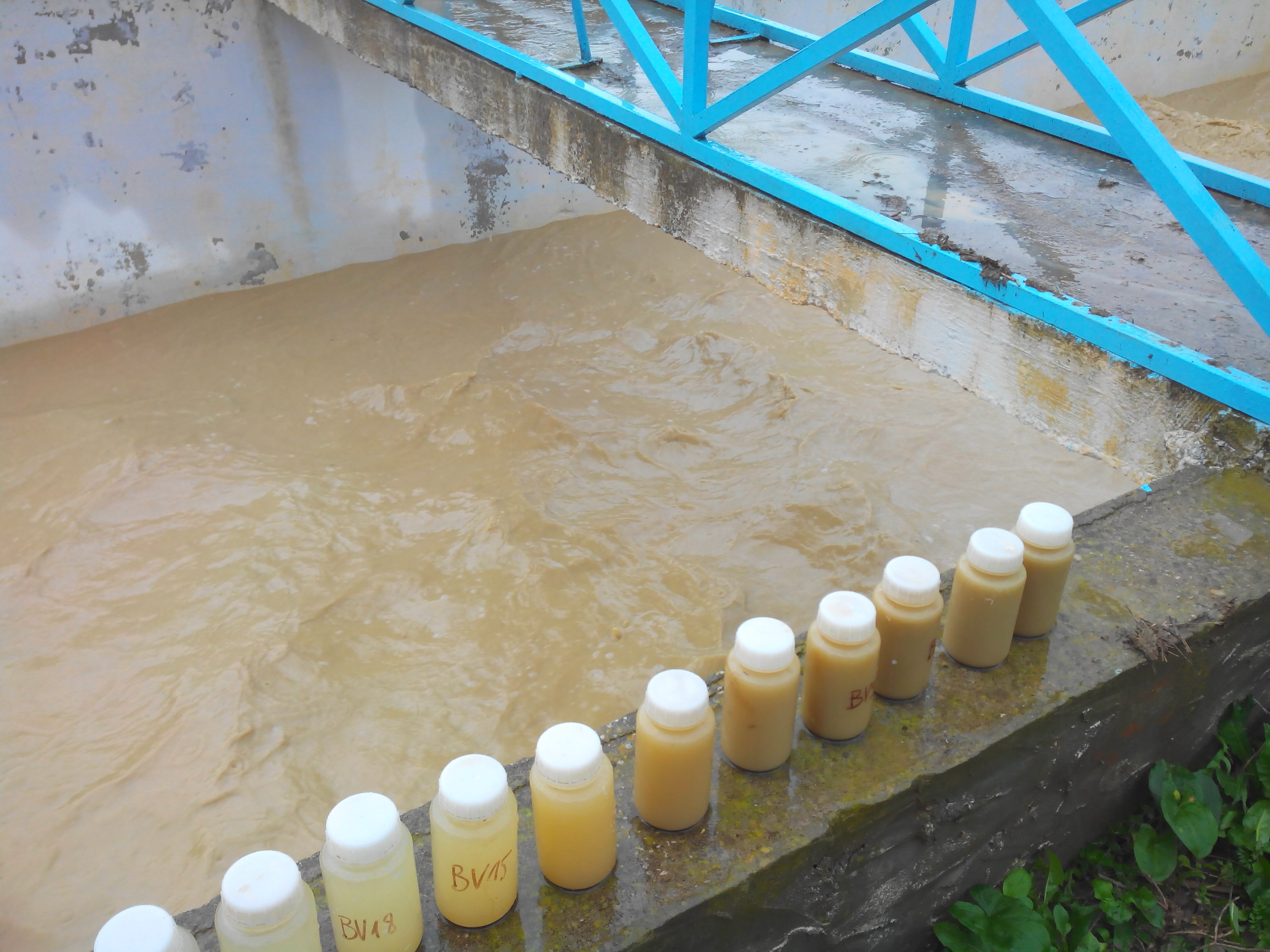
Suspended sediment concentration in runoff and stream flows (Kamech)
The monitoring of suspended sediment loads in runoff and stream flows aims to quantify the amount of sediments translocated during runoff events. These measurements contribute to the understanding and the quantification of the soil redistribution induced by water erosion processes.
The measurements of suspended matter are made through manual and automated water sampling at the hydrological stations, which are then processed and analysed in the laboratory to derive suspended sediment concentrations. A turbidimeter has been recently installed to complete the time series of sediment discharge. Suspended sediment concentrations are integrated into the HYSAE database, they can subsequently be consulted and downloaded via the OMERE data portal.
Simple
- Date ( Creation )
- Date ( Publication )
- Date ( Revision )
- Status
- On going
https://www.umr-lisah.fr/?q=fr/content/o-grunberger
- Keywords
-
- Keywords
-
- thesaurus_localisation_omere ( Place )
-
- Kamech
- GEMET - INSPIRE themes, version 1.0 ( Theme )
-
- Environmental monitoring facilities
- theme.hydrology_unesco.rdf ( Theme )
-
- Earth sciences
- Hydrology education
- Hydrological measurement
- Hydrological research
- Hydrology
- Hydrogeology
- Fluid mechanics
- Surface water
- UNESCO Thesaurus UNESCO Thesaurus ( Theme )
-
- Soil erosion
- Hydrology
- Fluid mechanics
- Surface water
- Hydrological measurement
- Hydrology education
- Hydrological research
- Earth sciences
Resource constraints
- Access constraints
- Intellectual property rights
- Use limitation
- Free use subject to compliance with the OMERE Observatory data use charter available on this form and also digitally signed when downloading data via the OMERE portal.
- Description
- Roujan
))
- Distribution format
-
-
utf8
(
1
)
-
utf8
(
1
)
- OnLine resource
- Kamech data portal ( WWW:LINK-1.0-http--link )
- OnLine resource
- Charter for the use of OMERE Observatory data ( WWW:LINK-1.0-http--link )
- OnLine resource
-
limit_kamech_ltn
(
OGC:WMS-1.1.1-http-get-capabilities
)
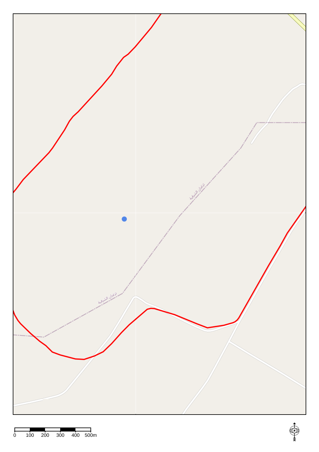
Geographical layer of the contour of the Kamech catchment area
- OnLine resource
-
tn_charge_solide_eau
(
OGC:WMS-1.1.1-http-get-capabilities
)
Geographical layer of Kamech measurement points related to soil water erosion via sediment load in surface waters
- File identifier
- 4b141ea2-7b9e-41bb-8f0c-a1283b78fdd9 XML
- Metadata language
- fr
- Parent identifier
- KAMECH long-term monitoring system (Cap Bon / Tunisie) 8995bb85-af1e-487d-8118-a01fb5fcdeb1
- Date stamp
- 2021-04-16T12:10:21
https://www.umr-lisah.fr/?q=fr/content/a-dubreuil
Overviews
Spatial extent
Provided by
