 Catalalogue de l'ORE OMERE
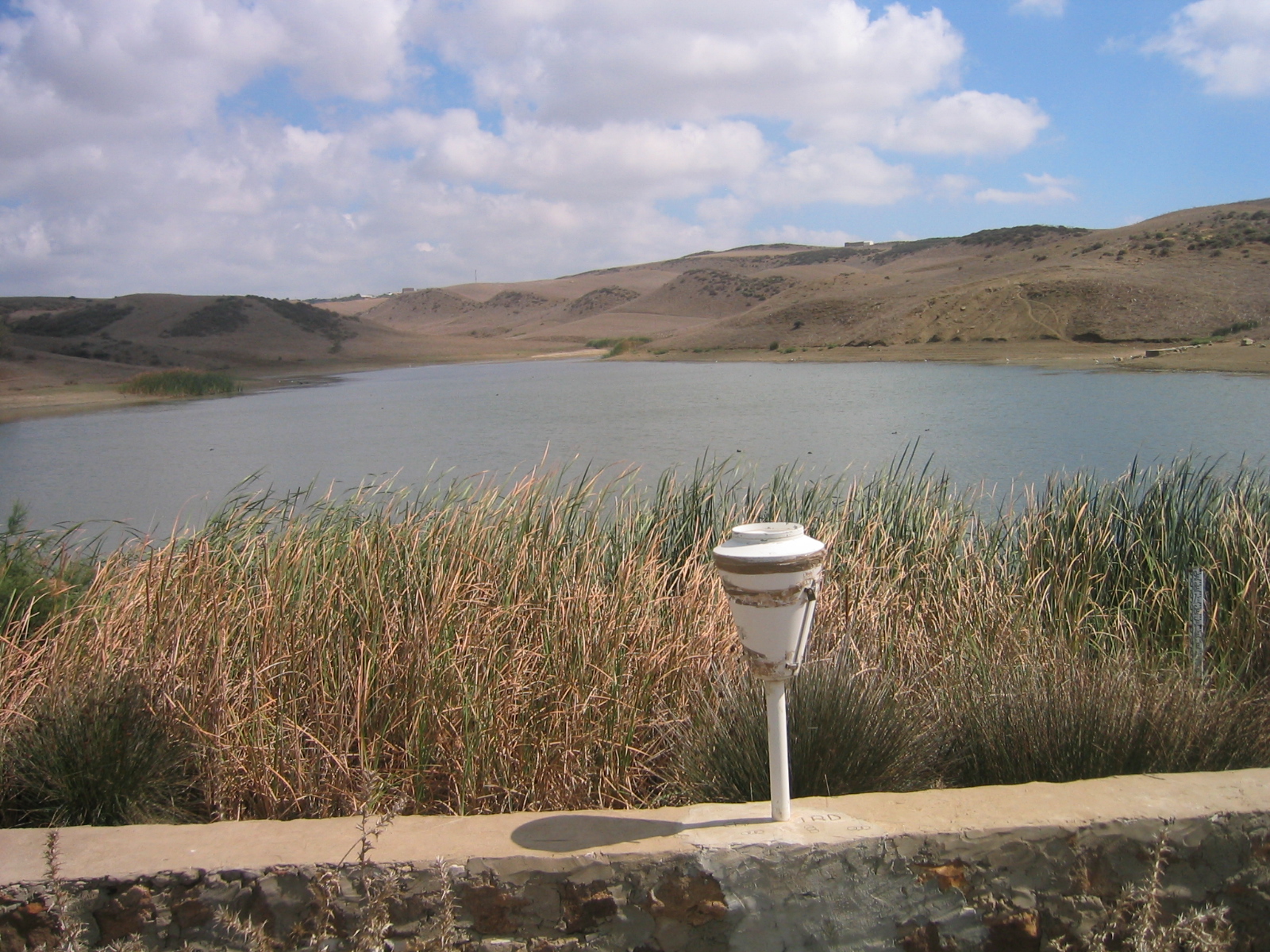
Rainfall measurement (Kamech)
The measurement of rainfall in Kamech catchment (Cap Bon/Tunisia) is operational since 1994 through a network of daily and instantaneous (tipping bucket) rain gauges, some of them being remotely connected to servers in Montpellier.
Verification treatments and possible corrections aare applied before the data sets are integrated into the HYSAE database. A "synthetic" rainfall dataset derived from these measurements and accessible from the OMERE data portal is elaborated as a
complete and uninterrupted chronicle of rainfall data for the catchment area.
Simple
- Date ( Creation )
- Date ( Publication )
- Date ( Revision )
- Status
- On going
https://www.umr-lisah.fr/?q=fr/content/o-grunberger
- Keywords
-
- Keywords
-
- thesaurus_localisation_omere ( Place )
-
- Kamech
- GEMET - INSPIRE themes, version 1.0 ( Theme )
-
- Environmental monitoring facilities
- theme.hydrology_unesco.rdf ( Theme )
-
- Hydrology education
- Ecohydrology
- Earth sciences
- Water resources
- Water balance
- Hydrological research
- Hydrology
- Hydrological cycle
- Hydrological measurement
- UNESCO Thesaurus UNESCO Thesaurus ( Theme )
-
- Precipitation
Resource constraints
- Access constraints
- Intellectual property rights
- Use limitation
- Free use subject to compliance with the OMERE Observatory data use charter available on this form and also digitally signed when downloading data via the OMERE portal.
- Description
- Roujan
))
- Distribution format
-
-
utf8
(
1
)
-
utf8
(
1
)
- OnLine resource
- Kamech data portal ( WWW:LINK-1.0-http--link )
- OnLine resource
- Charter for the use of OMERE Observatory data ( WWW:LINK-1.0-http--link )
- OnLine resource
-
limit_kamech_ltn
(
OGC:WMS-1.1.1-http-get-capabilities
)
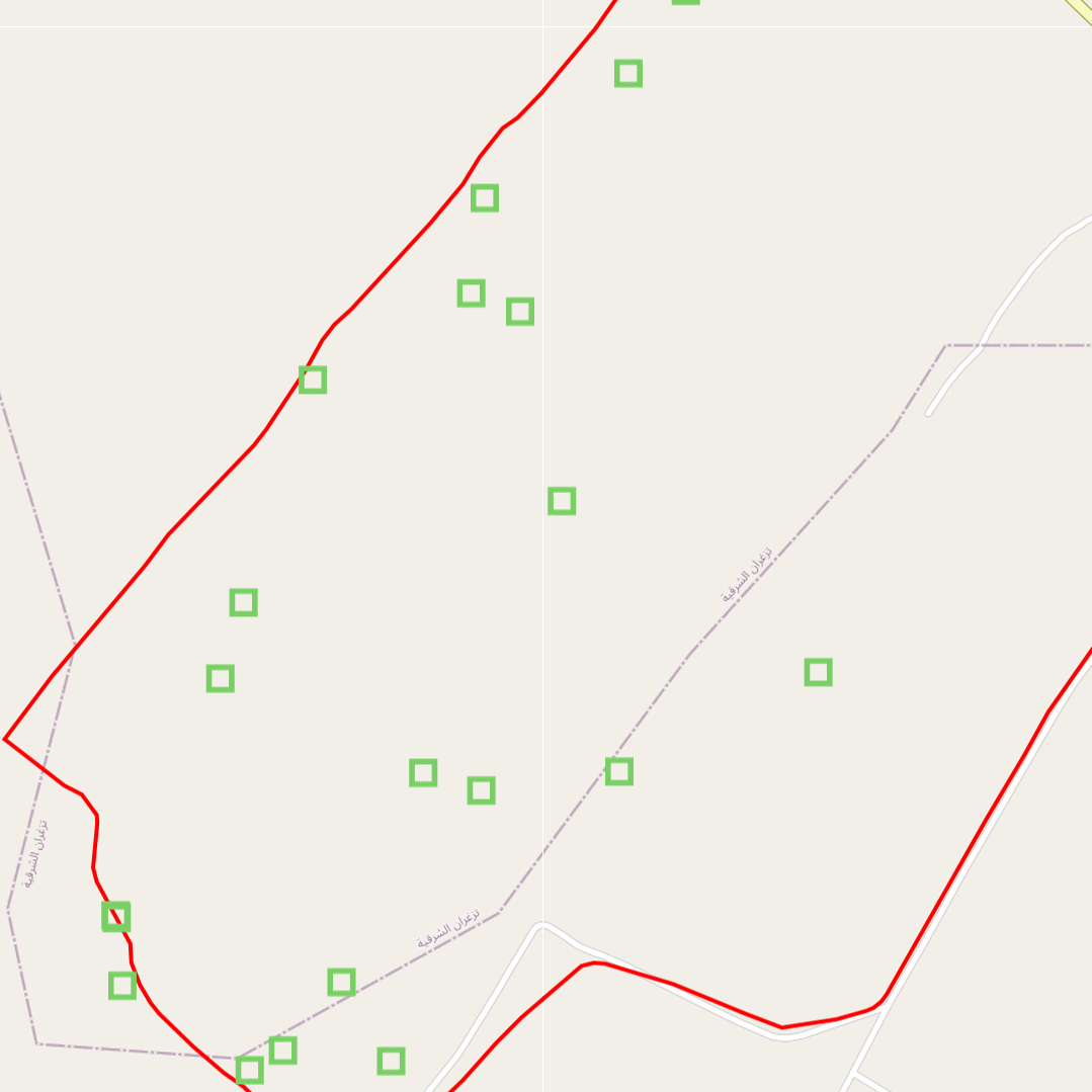
Geographical layer of the contour of the Kamech catchment area
- OnLine resource
-
tn_pluie
(
OGC:WMS-1.1.1-http-get-capabilities
)
Geographical layer of rain-related measurement points in the Kamech catchment area
- File identifier
- 608a6893-95b8-4a22-b5ca-932a745aeec7 XML
- Metadata language
- fr
- Parent identifier
- KAMECH long-term monitoring system (Cap Bon / Tunisie) 8995bb85-af1e-487d-8118-a01fb5fcdeb1
- Date stamp
- 2022-10-24T15:59:16
https://www.umr-lisah.fr/?q=fr/content/a-dubreuil
Overviews
Spatial extent
Provided by
