 Catalalogue de l'ORE OMERE
Keyword
Agriculture
Type of resources
Available actions
Topics
Provided by
Years
Formats
Representation types
Update frequencies
Scale
Resolution
From
1
-
4
/
4
-
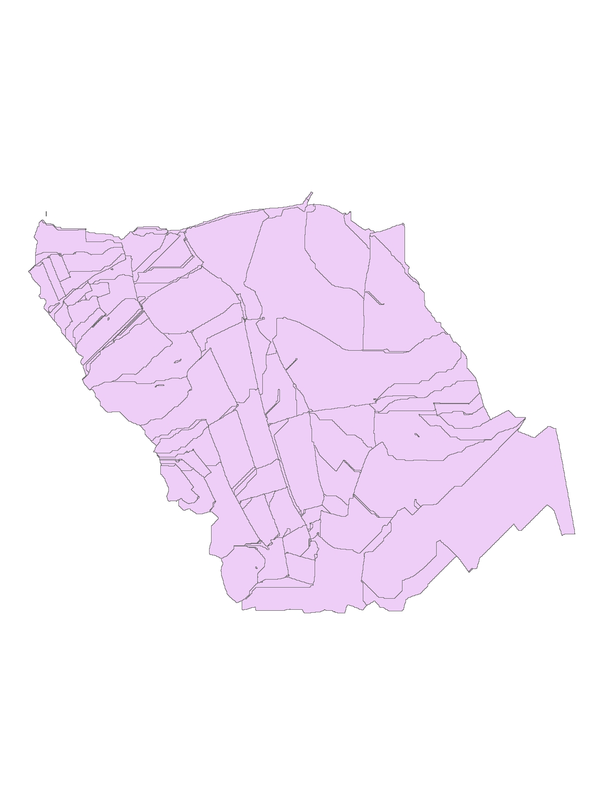
Contour map of the sub-catchment areas (Roujan)
-
Geological map of the Roujan catchment area ( 1/5000 scale), modified from the official BRGM geological map (1/50000 printed map number 1015)
-
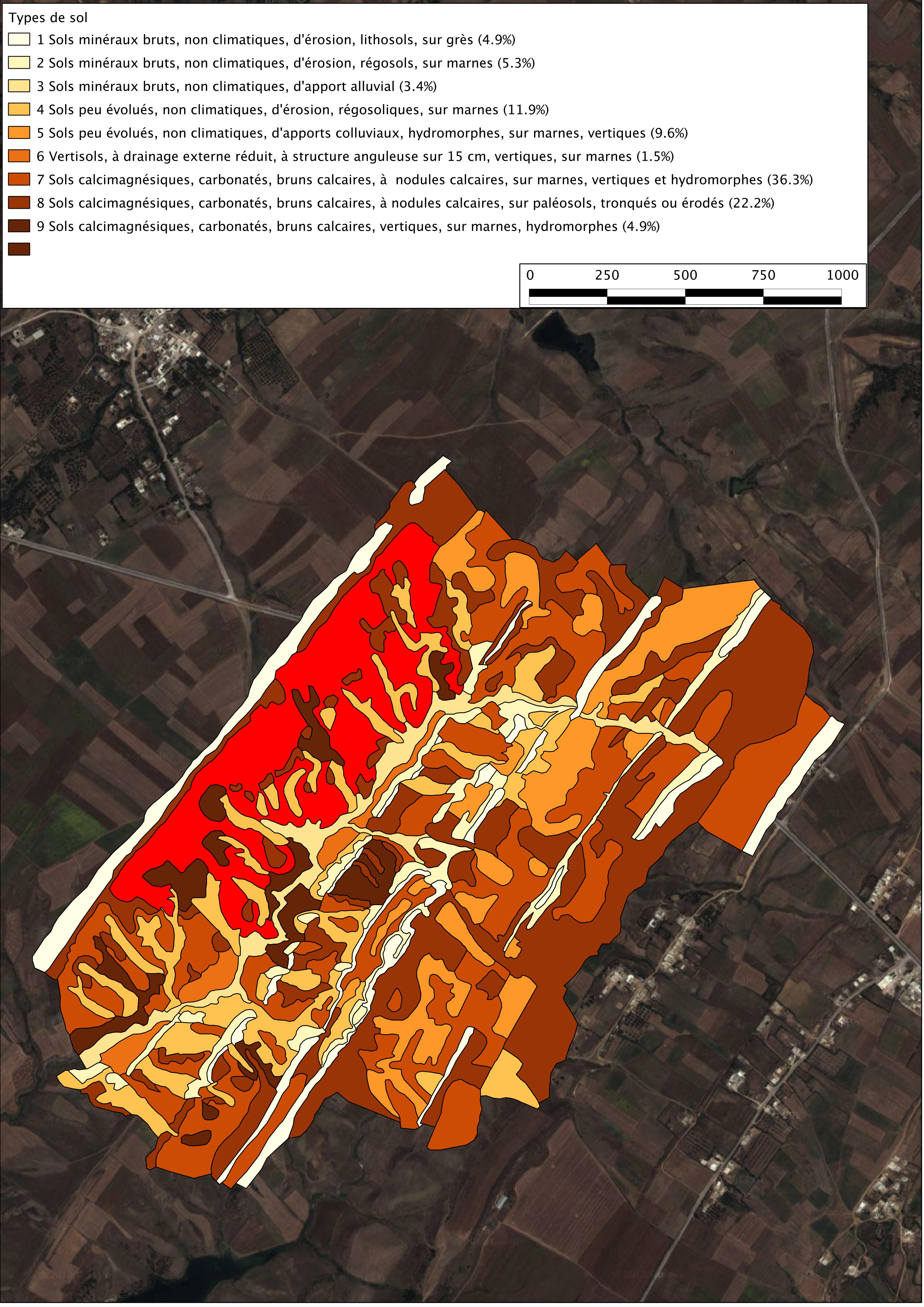
soil map of the kamech watershed drawn up by P. Zante & J. Collinet in 2003 with the ancient french soil referential CPCS.
-
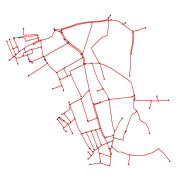
Carte du réseau de fossés du Bassin versant de Roujan actualisé par un relevé de terrain en 2003.