Topic
                
                environment
Type of resources
Available actions
Topics
Keywords
Contact for the resource
Provided by
Representation types
Update frequencies
Scale
                From
                1
                -
                6
                /
                6
              
            - 


                  Contour map of the sub-catchment areas (Roujan)
 - 


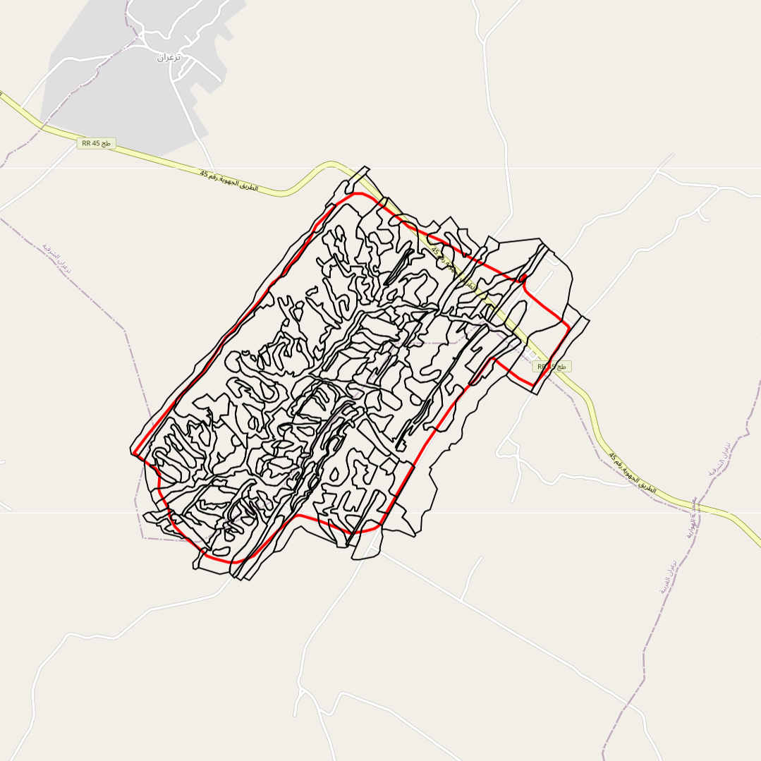
                  Geological map of the Roujan catchment area ( 1/5000 scale), modified from the official BRGM geological map (1/50000 printed map number 1015)
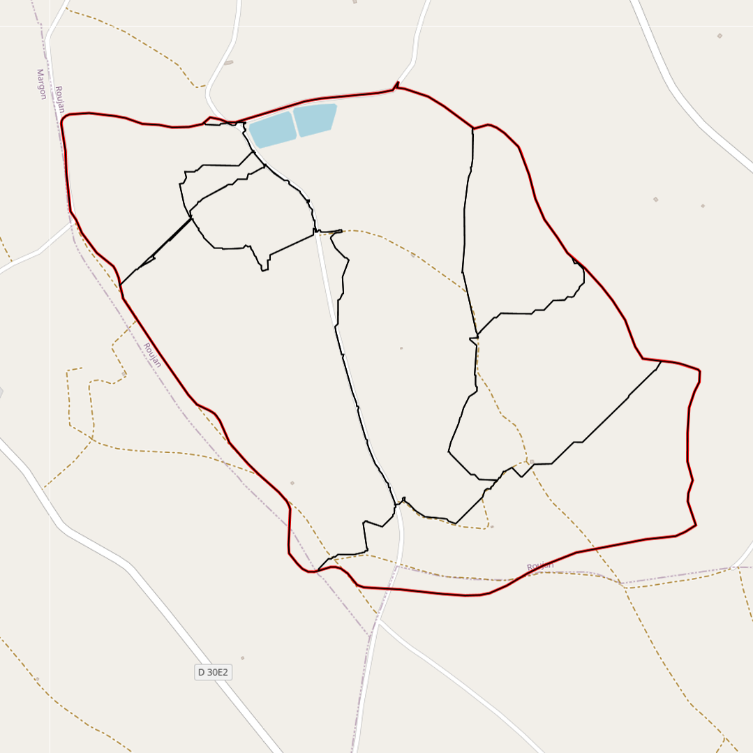
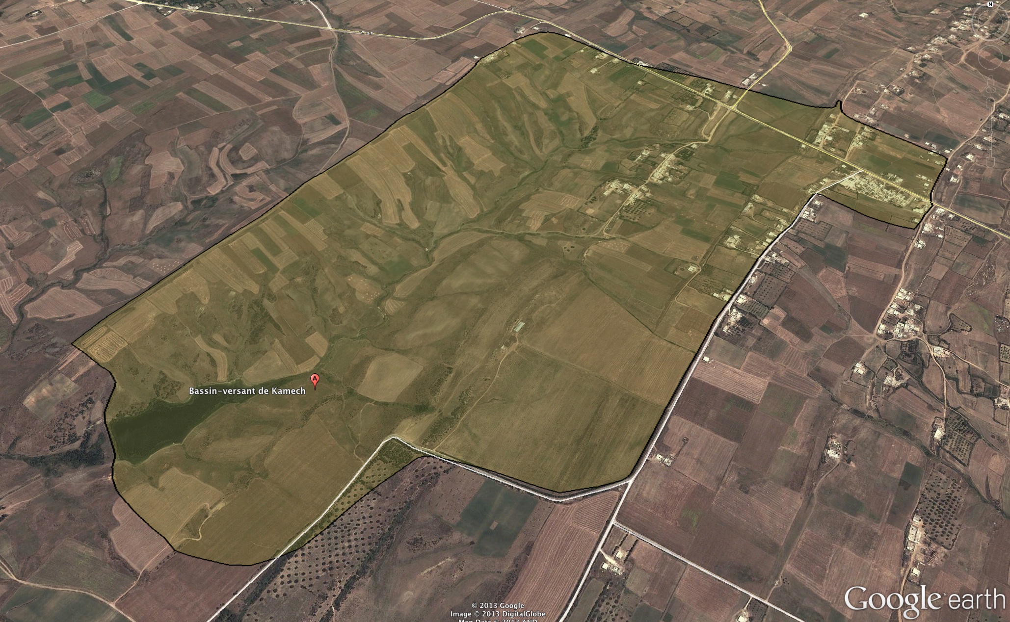
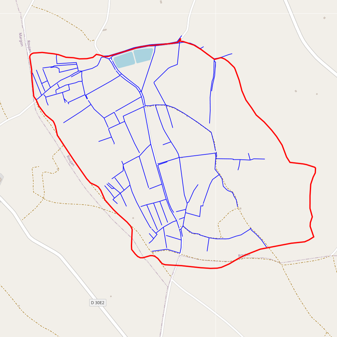
 - 


                   - 


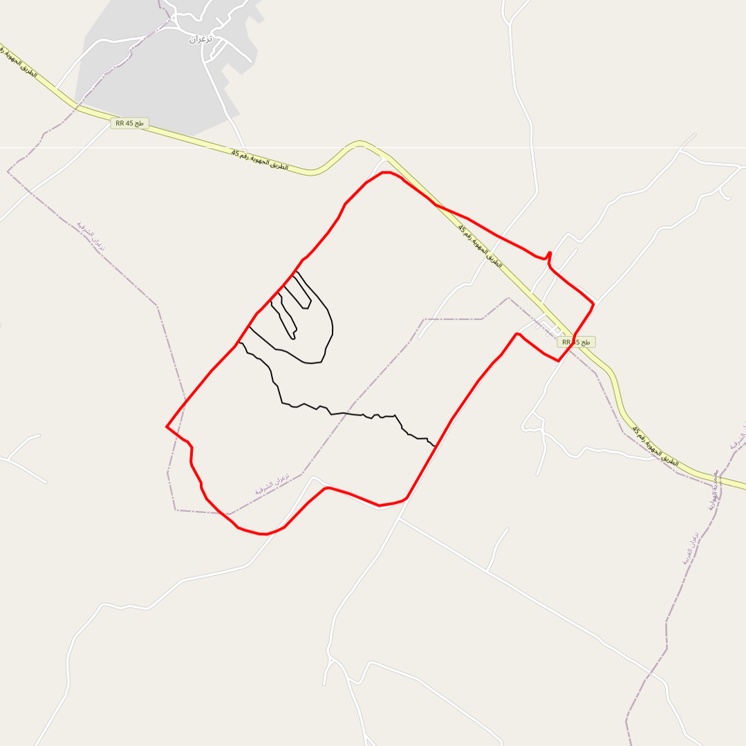
                  Limits of the impluviums of : - the wadi - the agronomic plot - the gully - the Kamech micro-basin
 - 


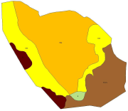
                  soil map of the kamech watershed drawn up by P. Zante & J. Collinet in 2003 with the ancient french soil referential CPCS.
 - 


                  Catalalogue de l'ORE OMERE