 Catalalogue de l'ORE OMERE
Keyword
Boundaries
Type of resources
Available actions
Topics
Keywords
Contact for the resource
Provided by
Representation types
Update frequencies
Scale
From
1
-
2
/
2
-
-
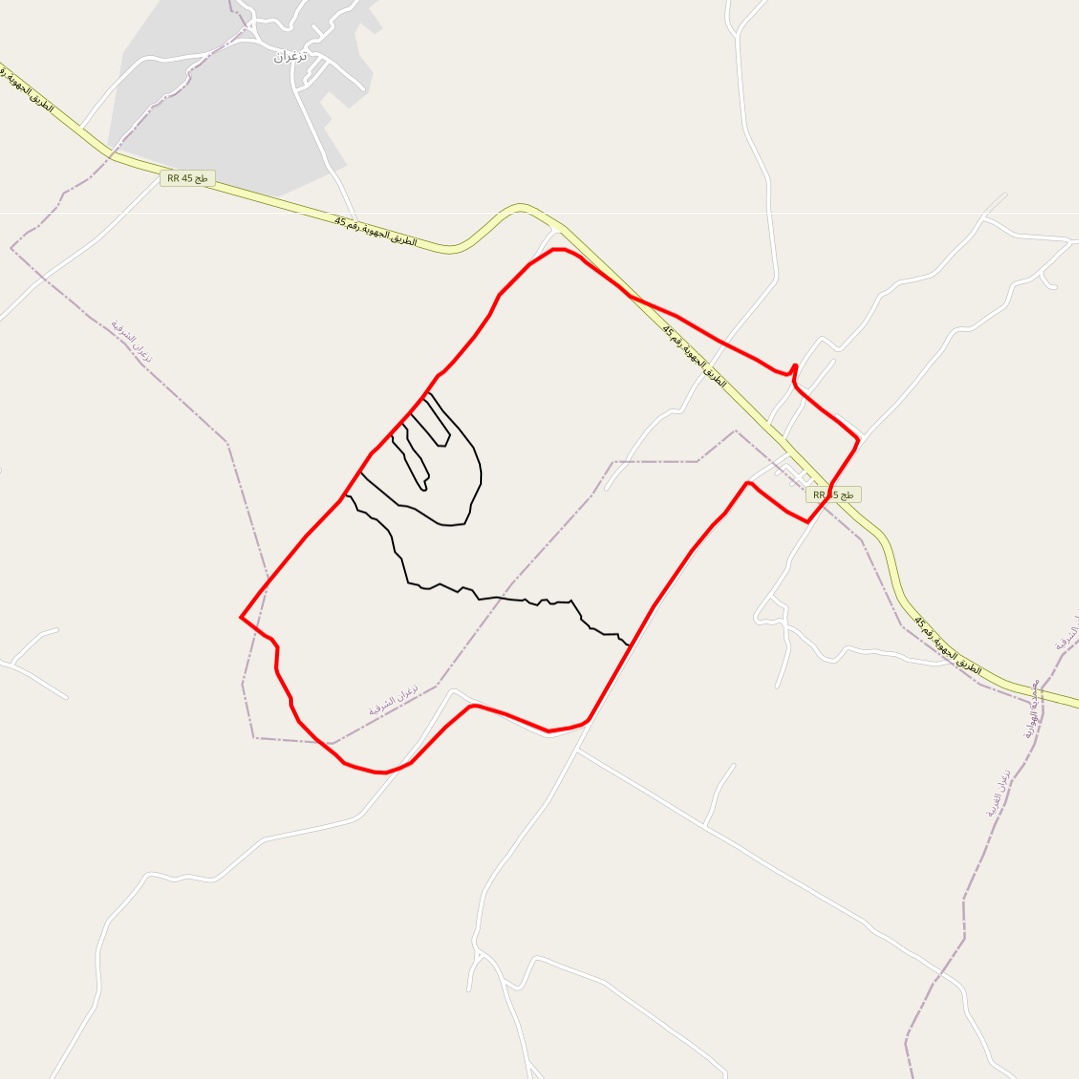
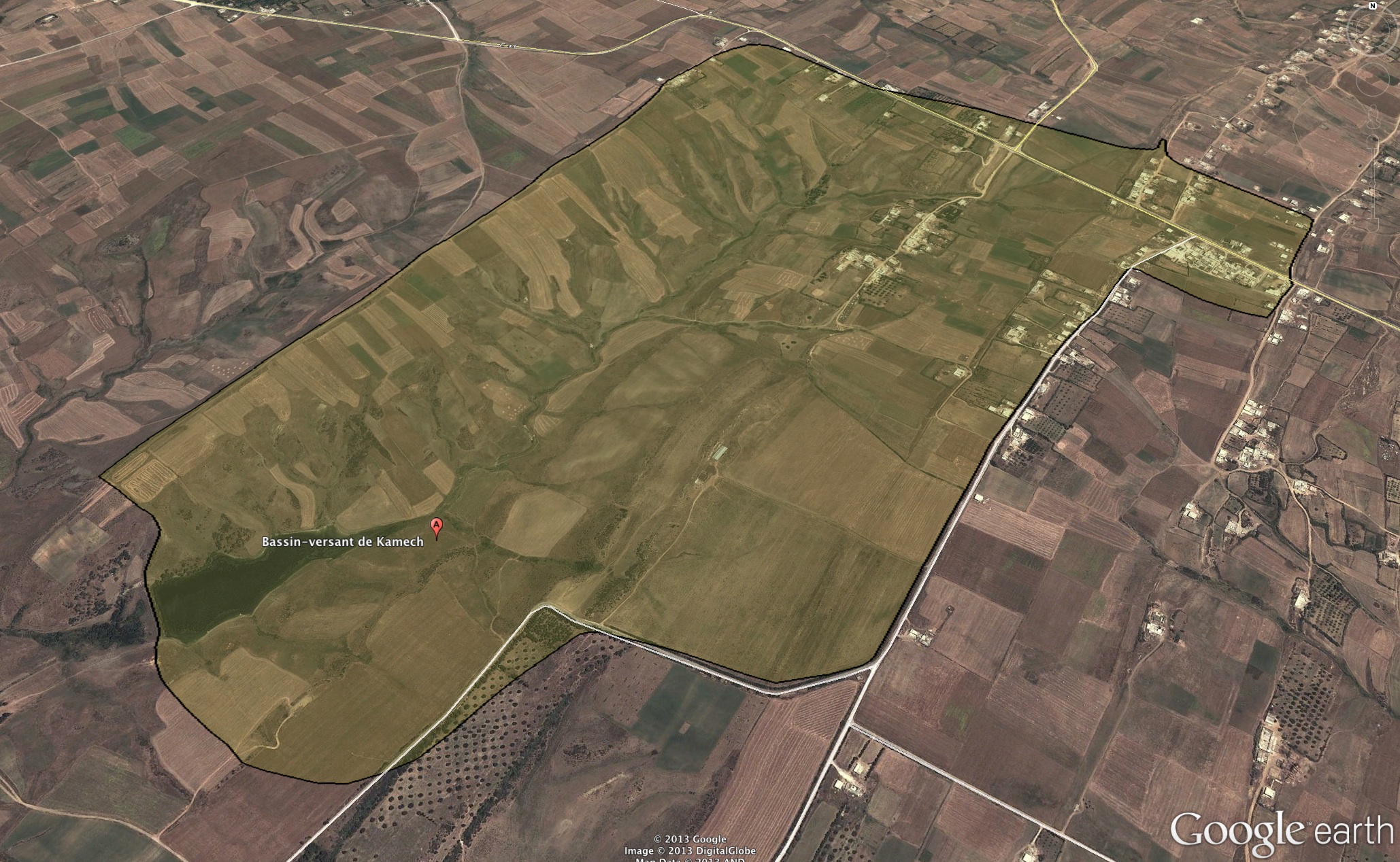
Limits of the impluviums of : - the wadi - the agronomic plot - the gully - the Kamech micro-basin