 Catalalogue de l'ORE OMERE
Keyword
Soils
Type of resources
Available actions
Topics
Keywords
Contact for the resource
Provided by
Formats
Representation types
Update frequencies
status
Scale
From
1
-
3
/
3
-
-
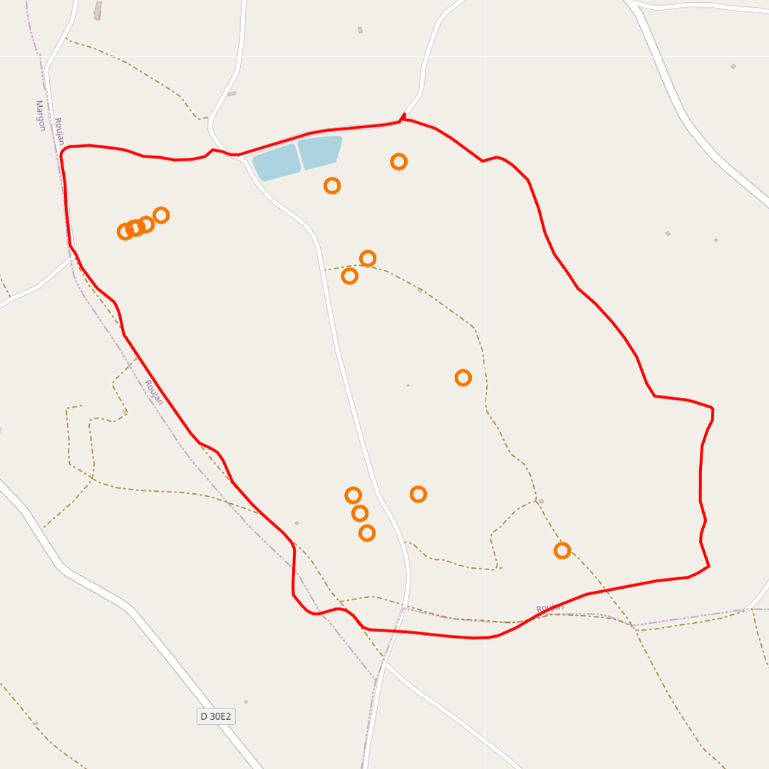
soil map of the kamech watershed drawn up by P. Zante & J. Collinet in 2003 with the ancient french soil referential CPCS.
-
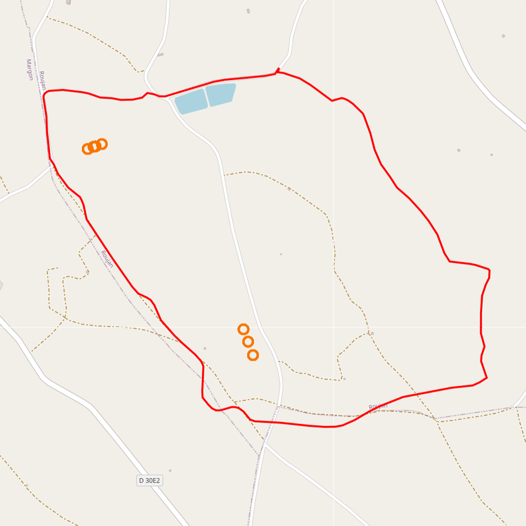
The thematic map provided allows you to visualise the measurement points concerning this data acquisition device. This map is accessible via a standardised WMS flow, but also enables the data sets associated with the measurement point to be downloaded, depending on the case, via the ORE OMERE data portal.