 Catalalogue de l'ORE OMERE
IRD - OG
Type of resources
Available actions
Topics
Keywords
Contact for the resource
Provided by
Formats
Representation types
Update frequencies
status
Scale
-
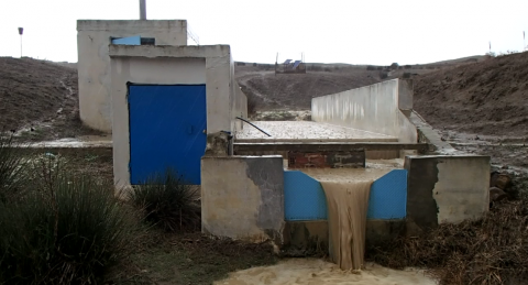
Runoff and stream flow discharge have been monitored since 1994 at the outlet of the Kamech catchment, and since 2005 at four sub-catchment hydrological stations. Automatic sensors continuously collected and transmitted water level time series to servers in Montpellier (France). Verification and correction processes on the raw data, as well as the generation of elaborated data (e.g. calculation of runoff, discharge from water levels, modification of time steps, etc) are applied before integration of the data sets into the HYSAE database. The time series can be downloaded from an interactive map through the OMERE data portal accessible from this page.
-
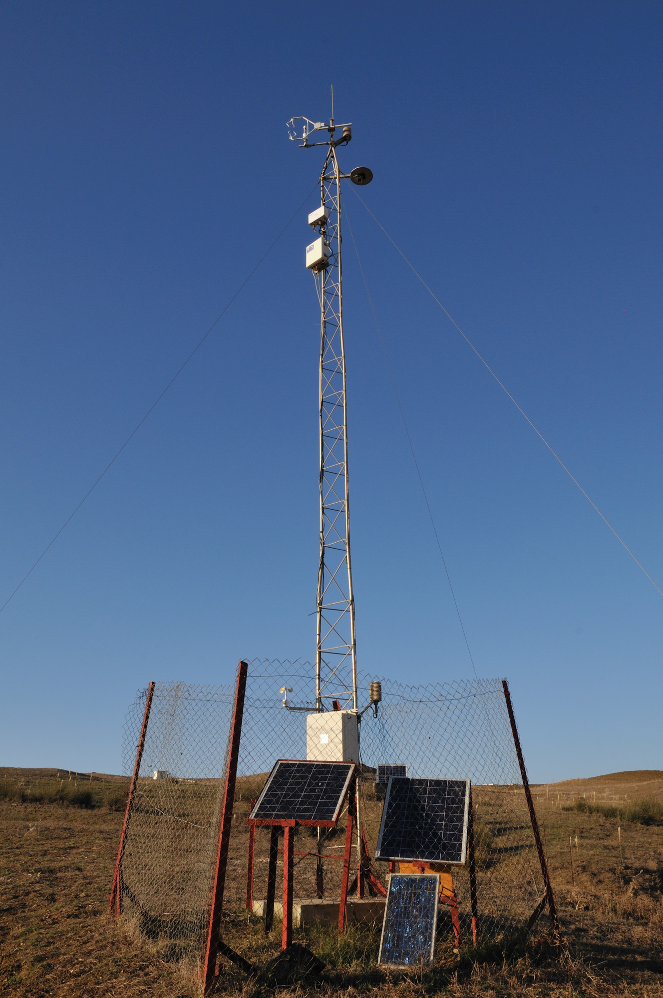
A meteorological station and a flow tower have been installed in the Kamech watershed. Through these two stations, a set of sensors is arranged to collect various meteorological variables. The meteorological station, installed in 1998, is equipped with sensors that are placed two meters above the ground. These sensors allow the acquisition of global radiation, wind speed and direction, air temperature and humidity, atmospheric pressure. The instruments used are: pyranometer, anemometer (A100R, vector), wind vane (W200P), thermohygrometer (HPM45C, vaisala), barometer (CS100, Setra). The flow tower or micro-meteorological station, installed in 2010, is equipped with sensors installed at 10 meters from the ground, allows to measure the real evapotranspiration (ETR) by the turbulent covariance method. This method is based on high frequency measurements (10 to 20 measurements per second) of vertical wind speed, air temperature and air humidity. The instruments used are: sonic anemometer (CSAT3, Campbell Sc), icor 7500, air temperature and humidity (HMP45, vaisala). Additional sensors measuring temperature, relative humidity and speed are installed at 2 m height from the ground allowing to have a second point of measurement of the meteorological variables on the BV. A data acquisition system calculates and stores the average values over 30-minute time intervals. The data are collected by the staff of INRGREF of Tunis. They are processed, prepared in the format of integration in the database HYSAE of LISAH to be integrated into the information system of OMERE Through the OMERE data web portal, the address of which is given in this fact sheet, the data can be consulted and downloaded.
-
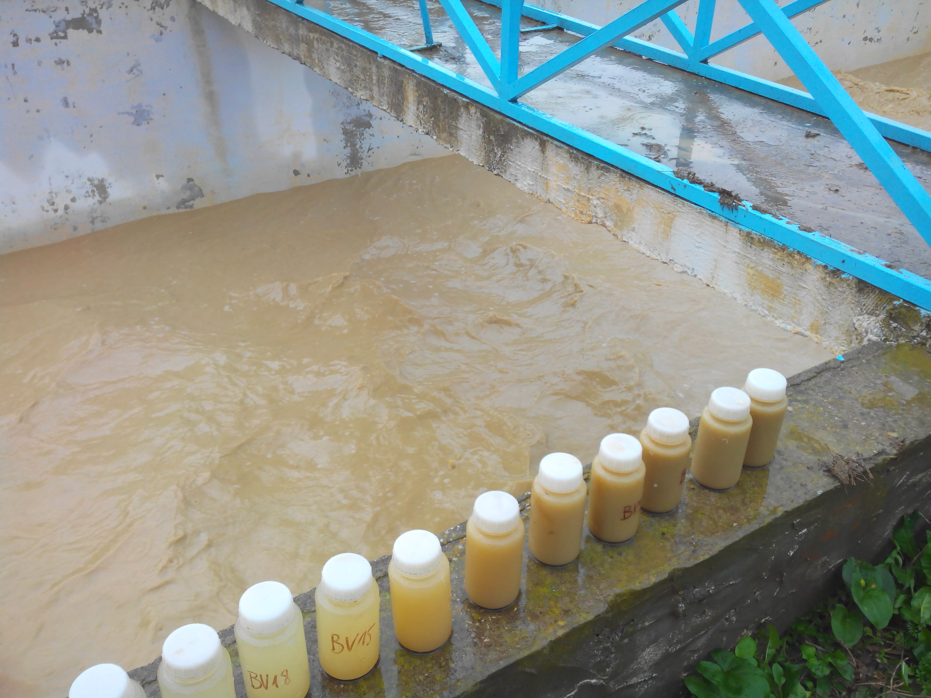
The monitoring of suspended sediment loads in runoff and stream flows aims to quantify the amount of sediments translocated during runoff events. These measurements contribute to the understanding and the quantification of the soil redistribution induced by water erosion processes. The measurements of suspended matter are made through manual and automated water sampling at the hydrological stations, which are then processed and analysed in the laboratory to derive suspended sediment concentrations. A turbidimeter has been recently installed to complete the time series of sediment discharge. Suspended sediment concentrations are integrated into the HYSAE database, they can subsequently be consulted and downloaded via the OMERE data portal.
-
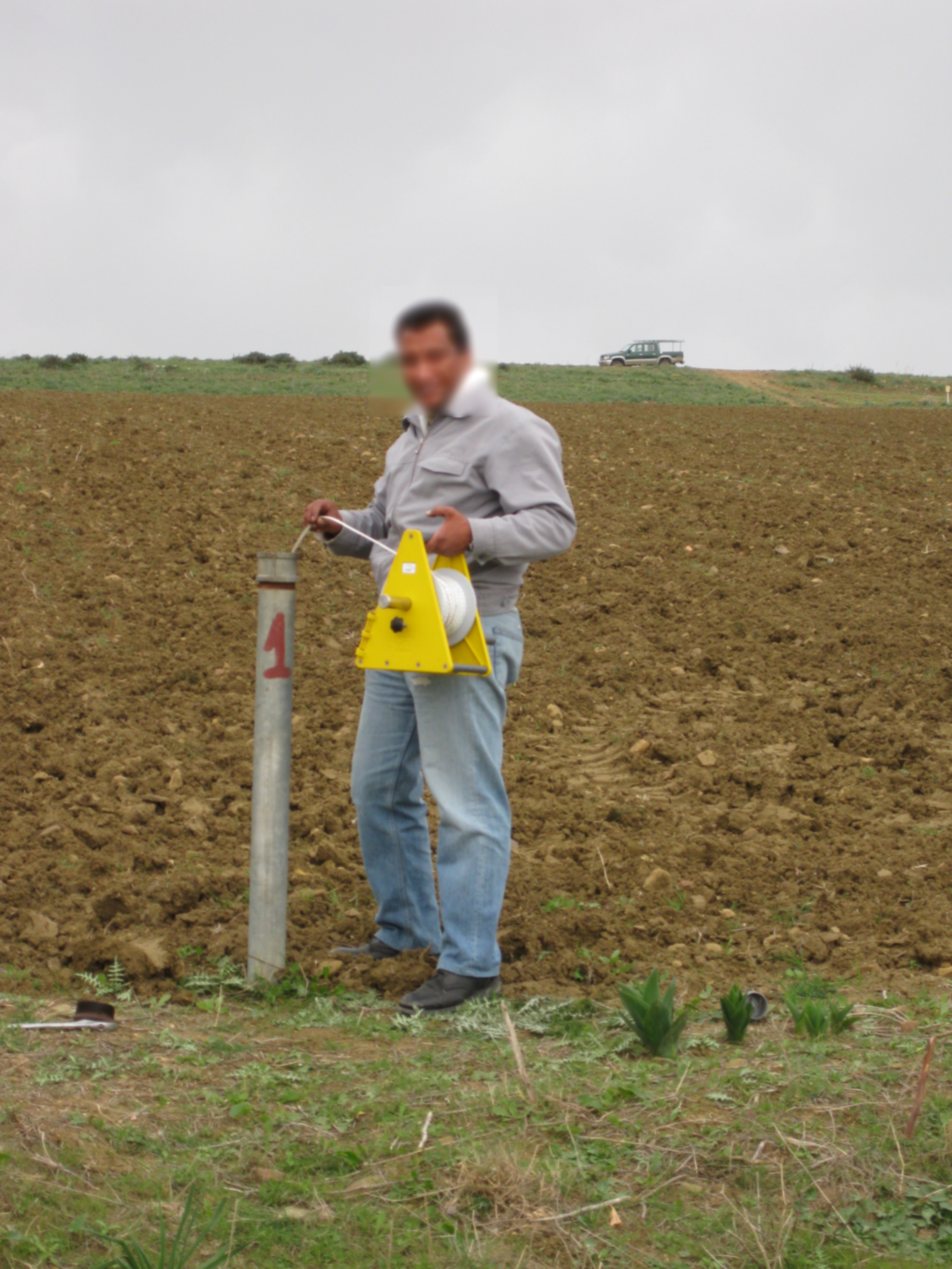
The groundwater temperature is measured at different points in the Kamech catchment. In Kamech site, the groundwater is shallow with a free surface water table rising and falling in the soil and subsoil layers. The measurements are made at different points in the catchment with piezometers. A piezometer is a perforated PVC tube at its base installed in the soil through a borehole. In every piezometer, the groundwater temperature is monitored at high frequency (~15') with autonomous and automatic temperature probe integrating acquisition units. Through the OMERE data portal accessible from this website, the data can be downloaded from an interactive map.
-
soil map of the kamech watershed drawn up by P. Zante & J. Collinet in 2003 with the ancient french soil referential CPCS.
-
-
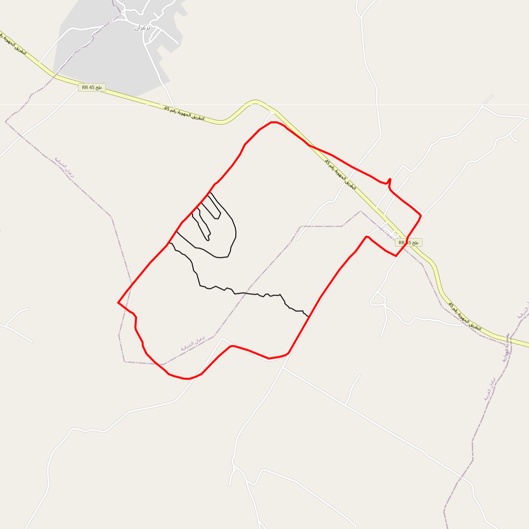
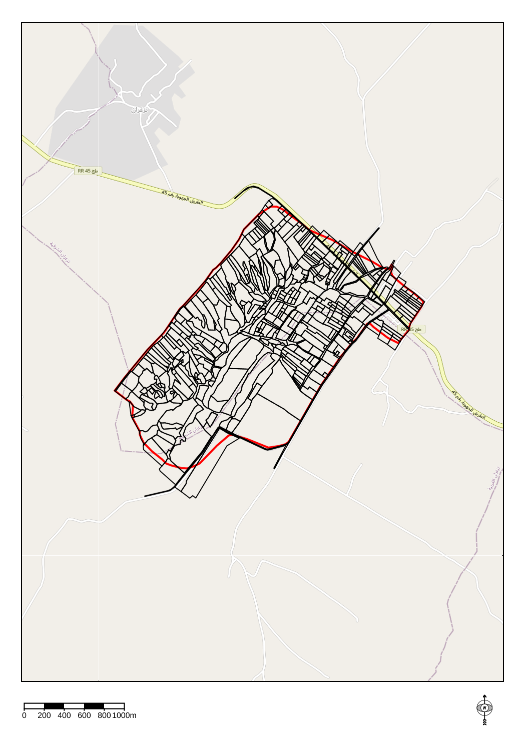
Limits of the impluviums of : - the wadi - the agronomic plot - the gully - the Kamech micro-basin
-
Soil moisture assessment in different areas of the Kamech catchment area is carried out using soil tensiometry measurements carried out on different areas and at different depths of the Kamech site.
-
-
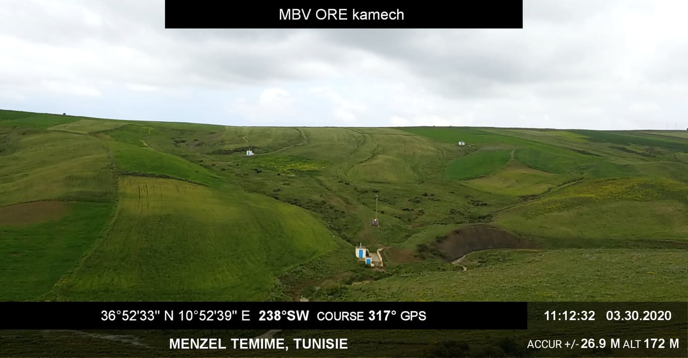
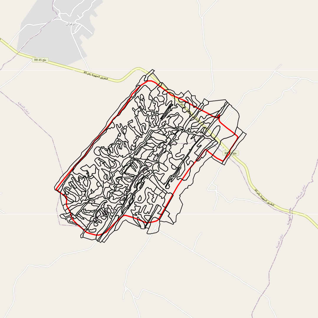
The Kamech basin is located north of Cap-Bon, in the governorate of Nabeul, on the border between the sub-humid and semi-arid Mediterranean climates. The average inter-annual rainfall is about 640 mm and the potential evapotranspiration is 1300 mm. The outlet of the basin is occupied by a hilly lake built in 1994 (140,000 m3 of initial capacity). The inter-annual flow coefficient is of the order of 10%-15% and the erosion of 15 t/ha/year. Land use is characterised by a cultivation rate close to 75% with, in order of importance: cereals, legumes and irrigated market gardening. This basin has been the subject of a monitoring of anthropogenic activities (land use and management, agricultural practices...), of agro-climatic variables, and of runoff and erosion since 1994 (+ pesticides more recently) at its outlet and since 2005 on 4 substations. This watershed is part of a network of 27 watersheds monitored under an agreement with the Tunisian Ministry of Agriculture (DGACTA).